8 Best Apps Similar To Mediterranean SE boating nautical offline charts|AppSimilar

Top Grossing Apps: Mediterranean SE boating nautical offline charts
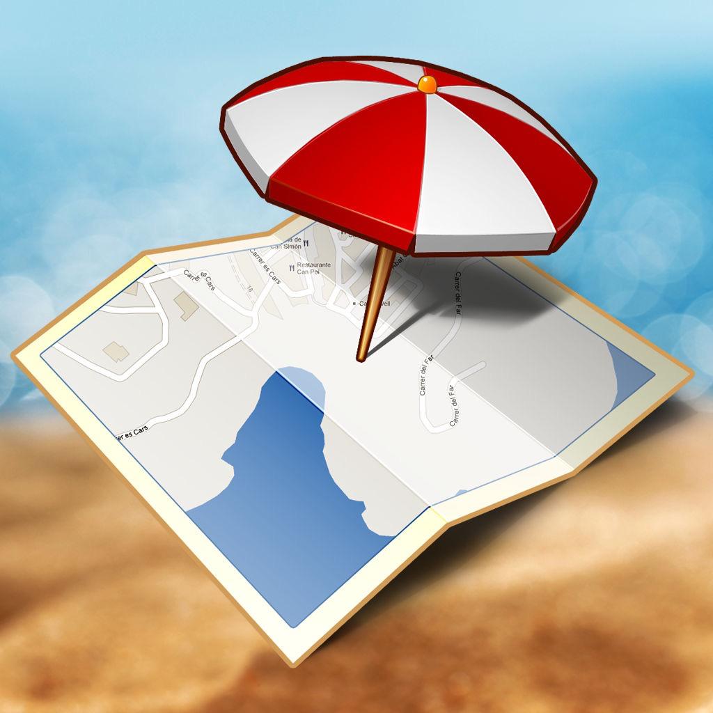
Mediterranean SE boating nautical offline charts
APP STORE: App Store EGP79.99
CURRENT VERSION : 3.0(2017-07-15)
APP CATEGORIES : Navigation, Travel
APP RATINGS & REVIEWS : 0 (<5K)
| APP DOWNLOADS | APP REVENUE | DAILY ACTIVE USER OF APP |
| <5K | <5K | <5K |
APP DESCRIPTION
*** For people who are looking for appealing charts, features like seamless scrolling, comprehensive coverage with good chart view management, track recording and safety feature (MOB), Seawell marine navigation applications are the best choice. This application provides maps to make life easier and more enjoyable for sailors, fishermen, divers, boaters and cruisers.
*** Comprehensive coverage
Coverage of the chart is extensive and detailed: ***Mediterranean South East - Seawell marine chart Coverage Nicosia, Korphi, Evdhimou Bay, Akrotiri Bay, Cape Doles, Larnaca Bay, Cape Grece, Mesani and more.
*** Seamless scrolling:
With Seawell chart application you can zoom in and out without having to look for and load different charts. You can still scroll/zoom even when the favorites list or track list view is open. You can also mark or add favorite spots, dynamically without going back and forth to the chart.
*** Chart view management
Lots of care has been taken to avoid clutter of icons, to utilize the full view of the chart to display only the map. With a single ON/OFF button, you can have full chart clear view. All the buttons on the chart are configurable to be turned off from the view in the settings
*** Track recording
√ Knowing where you’ve been helps significantly when visualizing where you’re going. Track recording is also a useful supplement to a log.
√ Intuitive interface to turn a track ON/ OFF, edit details & delete.
√ Intuitive track detail view helps you to start / stop / pause / continue your track recording.
√ GPS Tracking with north up / Course up!
Three modes of GPS tracking, Red denotes user location centered and north up, yellow denotes user location is tracked but not centered with north up and blue denotes user location centered and map is rotated in course UP direction.
*** Favorites:
√ You can simply use your finger to tap positions on the chart where you want favorites.
√ Favorites list is also easy to use.
√ A picture is one thing, which tells more about your favorite places and you can share the same with your friends and families with different formats such as KML, KMZ and GPX
*** Distance measure
Measuring distances, not just from the boat, is clearly a key part of any navigation system. Check how easy to use this.
*** MOB function (Man Overboard)
Will show you the way back to MOB and position can be used by the emergency services.
*** Other Features:
√ Online and Offline Search
√ Speed of boat
√ Add Images in favorites
√ Seawell has 3 overlays: Offline, Hybrid and Street mode.
√ Offline: Only offline maps will be displayed which are useful in situations where there is no Internet connectivity. .
√ Hybrid: Land areas are covered by satellite imagery.
√ Street: Land areas are covered by open street maps
***NOTE: "Continued use of GPS running in the background can decrease battery life”
“Turn off GPS when not in use”
APP STORE OPTIMIZATION DETAIL
PLATFORMS : App Store
REPORT
KEYWORD SEARCH
app similar to Mediterranean SE boating nautical offline charts(🔍) most downloaded apps(🔍) best app store games(🔍)
More Other Apps’ Report
Apps Similar To Mediterranean SE boating nautical offline charts
| Top 8 Similars | More Similar Apps |
Name:Quebec City on Foot : Offline Map Price:$0.99
Description:This application will guide you through Quebec City but you’ll remain the boss. Go wherever you want to go and feel free to lose yourself. Thanks to this app you will always be able to identify your exact location and find your way through the city.
-Instantly locate the nearest Points of Interest around you.
-Store your position so that you can return to it later.
-Find a restaurant, bar or museum in the area.
-Get your bearings and know in which direction you are heading.
-What’s that monument right ahead of you?
-Store your hotel location, or any other location you want. You will always know where they are, and how far they are.
This is an offline application; an internet connection is not necessary, nor is a fixed data package.
The database contains over 5000 stored locations; just type a name into the search box and there is a high chance that the application will find it for you.
Zoom in and out in order to better visualise your location in a neighbourhood or in broader surroundings.
This version does not require an internet connection or Wifi. You will not be charged any roaming fees.
Rating:5 Show Detail

Name:MSW Surf Forecast Price:Free
Description:The Magicseaweed mobile app provides long range surf forecasts for thousands of spots around the globe. Our forecast includes the MSW star rating; surf height; swell height, period and direction; wind speed and direction; and air and water temperatures. With the MSW app you'll have access to:
- Over 150 surf cams worldwide.
- Panoramic, multi-view surf cams.
- Swell, wind, period and pressure charts.
- Live buoy and wind data.
- Real-time surf reports from our network of trusted reporters.
- MSW editorial features and the latest surf news.
- Favourite spots, accessible across any device.
- The best surf-specific photo gallery in the world.
- Surf spot/beach local business directory.
And for the ultimate Magicseaweed experience, upgrade to Pro and receive:
- Unlimited advert free access to our global surf cam network.
- 16-day extended spot forecasts.
- 16-day extended charts.
- Extended tides for the previous or next 30 years.
- Detailed historic data stretching back 30 years
- No adverts. Ever
== MSW Pro subscription details ==
Payment will be charged to iTunes account at confirmation of purchase.
Subscription will be charged for renewal within 24 hours prior to the end of the current period, and identify the current cost of the renewal.
Subscriptions may be managed by the user and auto-renewal may be turned off by going to the user's account settings on their iPhone after purchase.
Full terms and conditions can be found at https://magicseaweed.com/legal/terms-and-conditions-of-use/
We value all our customers and encourage everyone to provide constructive feedback on their experience. Please direct any feedback to [email protected]
Rating:4.3 Show Detail
Name:Minnesota Lakes Nautical Chart Price:$2.99
Description:MapiTech launches on the market the best official up-to-date NOAA RNC (raster) combined with S57 nautical charts (digital): marinas, wrecks, fishing spots, boat ramps, POI.
This app displays seamlessly the beauty of NOAA paper charts, a "look and feel" experience combined with S57 data.
You will be impressed how appealing the raster charts look, how easily you pan and zoom and ..there's much more you will like about Mapitech App.
The interactive menu is very intuitive, the maps are downloaded to the device itself, it works in OFFLINE mode. No need of Internet connection.
Chart details and performances of a professional GPS chart plotter at a minimal cost.
At glance:
•It works without mobile coverage (OFFLINE)
•Powerful search
•Multiple overlays for different use (fishing, sailing or cruising)
•ActiveCaptain community integration
•KML data shareable
•Very detailed and updated charts
•Waypoints
•Markers & Favorites
•Multiple tracks: Record your track, instant speed time, COG - course over ground
•Geo - tagged photo management
•Distance measure
•Compass
•GPS window with very detailed info
•User friendly on latest iOS
▶ What’s New :
Bug fixing : iPhone X hanging at boot
Join the Captain community of 100.000+ boaters who write review and provide updated hazard info. Must have for all boaters!
Continued use of GPS running in background can decrease battery life. This only applies if background recording is enabled.
Rating:0 Show Detail

Name:PredictWind — Marine Forecasts Price:Free
Description:PredictWind's proprietary PWG and PWE marine weather forecast models along with the ECWMF and GFS models provide the most accurate forecasts, available at the highest resolution.
Easily navigate between wind, swell, rain, cloud, air and sea temperature forecasts in table, map and graph views.
PredictWind's powerful Weather Routing, Departure Planner, and Forecast Alerts are all powered by these world leading marine forecasts.
View live weather observations from over 20,000 live stations across the globe.
► Highest resolution on the web.
► Choice of top sailors and navigators.
► Incredible detail with tables, graphs and maps.
► Zoom in on high resolution forecast maps. Incredibly powerful tools:
◆ Weather Routing: showing you the fastest route and wind conditions.
◆ Departure Planner: showing you the best day for departure.
◆ Observations: real time live observations with graphs.
◆ Forecast Alerts: get notified directly to your phone, or via email, of the conditions that matter to you.
The features above marked ◆ may be purchased in the app."
Rating:4.6 Show Detail
Name:GPS-Trk 3 Price:¥0
Description:Professional-grade, new generation GPS system that works in both Stand-Alone Mode and Network Mode.
[Trusted name in smartphone GPS app since 2009. For both iPhone and iPad. Subscription is required for app use.]
1) Stand-Alone Mode (smartphone only)
In this mode, GPS-Trk works as traditional professional-grade GPS app.
• Full functionalities packed into clean easy-to-use UI.
• Reliability (several days of continuous measurement).
• Scalability (very long track like around the earth).
• Store all past tracks of several years on smartphone. Effectively, you never have to delete tracks to save space.
• Minimal usage of battery, network data and disk storage.
• Track with photos.
• Import / export track file in KML, KMZ, eKML, eKMZ, GPX format (with photo for KMZ, eKMZ) via email attachment, Dropbox.
• Apple Maps, Google Maps, OpenStreetMap (Offline map for OpenStreetMap)
• Track measurement works even without network (Cellphone, Wi-Fi).
• Track measurement by time or by distance.
• Track animation.
• Single app supports both iPhone and iPad. (screen optimized differently.)
2) Network Mode (smartphone + GPS-Trk Net)
The easiest way to share your GPS track path (with photos) with friends in real-time!
[Check it out at https://gpstrk.hc-eng.com]
During adventures (climbing, biking, airplane, ship) or business (fleet management), your friends, support team can watch your movement.
The user records track (movement, photos) with GPS-Trk app on smartphone. The other persons can watch the track moves remotely in real-time with any web browser (smartphones, PCs).
Free - create public tracks. (for Hobby. Show it to the world!)
Subscription - create shared or private tracks. (for Business)
You carry smartphone and friends watch your movement with Web browsers.
or
You put smartphone on target (scientific research, car, kid, pet etc.) and you monitor its movement with Web browsers.
[Continued use of GPS running in the background can dramatically decrease battery life.
Payment will be charged to your Apple ID account at the confirmation of purchase. Subscription automatically renews unless it is canceled at least 24 hours before the end of the current period. Your account will be charged for renewal within 24 hours prior to the end of the current period. You can manage and cancel your subscriptions by going to your account settings on the App Store after purchase.
Terms and Conditions: https://hc-eng.com/terms-and-conditions/
Privacy Policy: https://hc-eng.com/privacy-policy
]
Rating:1.35 Show Detail
Name:Marseille InfosPlages Price:0,00 €
Description:Marseille Infos Plages est une application qui vous permet:
- De consulter et suivre la qualité des eaux de baignade en temps réel
- De connaître la couleur des drapeaux de toutes les plages de Marseille en un coup d’oeil
- D’obtenir des informations complémentaires sur chacune des plages (horaires d’ouverture et fermeture, type de plage, accessibilité, description etc…)
- D’être informé sur la météo marseillaise pour les heures à venir, ainsi que les autres informations utiles pour faire le choix d'aller à la plage (température de l'eau, force du vent etc.)
- De signaler des problèmes qui vous pourriez rencontrer sur les plages (déchets, méduses,...)
Les données de Marseille Infos Plages sont des données officielles car l'application est alimentée par différents services de la Ville de Marseille et par la Métropole Aix-Marseille Provence.
Rating:3 Show Detail

Name:Speed - A dashboard for driving, boating, biking and hiking Price:$1.99
Description:SPEED is a dashboard app for use whenever you’re on the move, whether by car, boat, bike or on foot.
Here are some of the things SPEED can tell you:
How fast am I going?
What was my top speed?
How far have I traveled?
How high up above sea level am I?
Where did I put my car?
How far away am I from where I started?
How far has the boat drifted?
How can I tell someone where to find me?
Feature list:
Speed: Current speed in mph, kph, knots or m/s
Max: Highest speed achieved
Odo: Distance traveled in miles, km or nautical miles
Altitude: Feet or meters above mean sea level
Beacon: Distance and bearing to a set point
Position: Current latitude and longitude
SMS: Send your current position by SMS
GPS signal strength
24 hour time with seconds
Battery charge level and charging indicator
Rating:0 Show Detail
Name:Tides Near Me Price:Free
Description:가까운 곳의 조수 정보를 실시간으로 전달합니다.
타이드: 위치 기반 조수 정보는 근처의 조수 관측소와 현재 조수 상태 정보를 전달합니다. 최근 및 다음 조수와 해류 정보를 빠르게 확인하고 일출과 일몰, 월출과 월몰을 확인할 수 있습니다. 조수 정보 표와 차트, 예보 등을 모두 자동 제공합니다.
결제 갱신이 필요하지 않습니다. 다음 지역을 포함한 전 세계의 조수 상태 정보 제공: 대한민국. 모든 정보를 최신 상태로 유지합니다!
Rating:4.6 Show Detail