8 Best Apps Similar To 地图指南针-集指南针和地图二合一|AppSimilar
Top Grossing Apps: 地图指南针-集指南针和地图二合一

地图指南针-集指南针和地图二合一
APP STORE: App Store ¥0.00
CURRENT VERSION : 2.4(2020-06-05)
APP CATEGORIES : 导航, 工具
APP RATINGS & REVIEWS : 2 (<5K)
| APP DOWNLOADS | APP REVENUE | DAILY ACTIVE USER OF APP |
| <5K | <5K | <5K |
APP DESCRIPTION
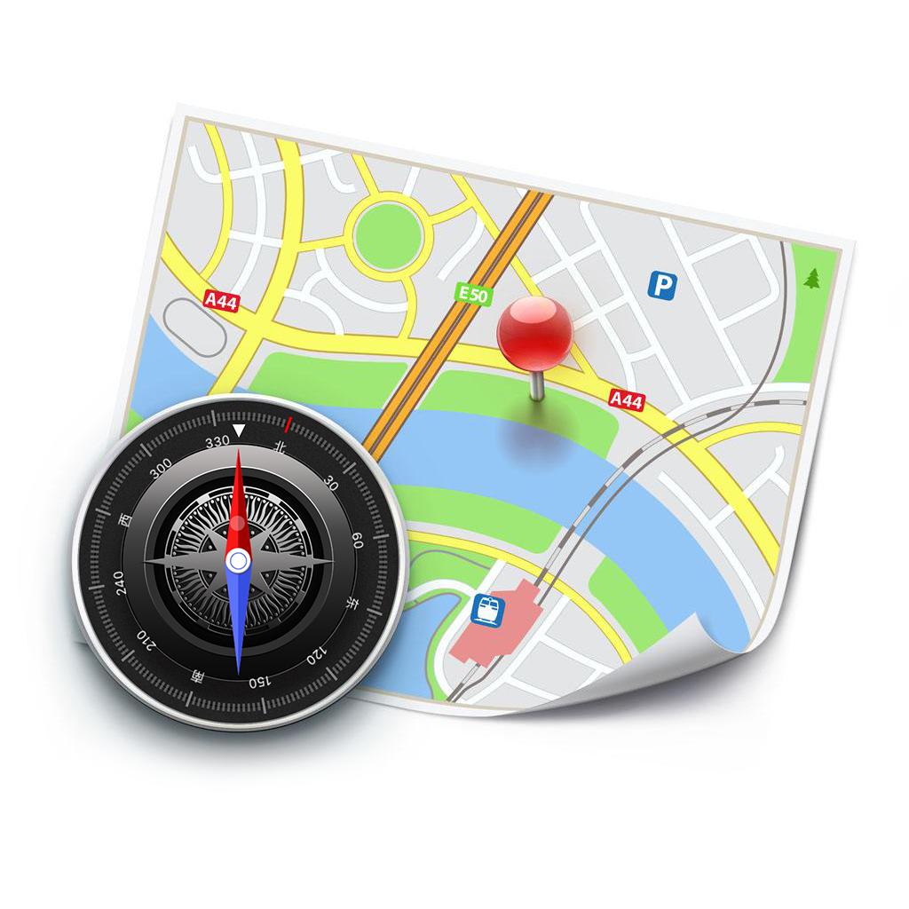
地图指南针是一款超小,超便捷的指南针定位工具,集指南针和地图二合一,打破以往单纯指针界面,配以地图,更直观,定位更准确,让你不再迷失方向,还包含简易水平仪让你再摆放,悬挂物品时更好的找准平衡,当您来到一个陌生得地方或者迷路不要怕,打开指南, 它会给你一个的方向和位置带你走出困境找准方向。
还在为旅行迷路而发愁吗? 分不清自己身在何处,赶快下载这款超酷的指南针实用小工具,拯救路痴的利器,帮助您分清东南西北。有了它,航海、野外探险、城市道路....不在话下,是您出行的必备工具!
【功能特色】
1、界面简洁美观,操作简单,易上手;
2、快速显示当前地理位置、经纬度、水平倾斜程度;
3、轻松辨别方位+地图导航,准确显示周边信息。
4、GPS快速定位,显示用户当前位置并告知东南西北;
5、安装包体积小,下载无压力;
【VIP会员连续包月说明】
您可以订阅以获得地图指南针App的包月会员权益。
一旦购买确认后,款项将直接从iTunes账号扣除
订阅期间您可以试用所有权益
订阅会自动续期同之前的价格和期间(一个月),除非在当前订阅期结束前至少提前24小时关闭自动续期
当前订阅期结束前的24小时内会根据您选择的期间(每月)从账号扣除续期费用
购买后,用户可在账号设置中管理订阅和关闭自动续期。
在有效订阅期间,无法取消当前订阅
"您可以透过iTune账户的订阅设置在免费试用期间来取消订阅。
请务必在订阅结束前24小时完成,以避免被收取费用。更多讯息请至:http://support.apple.com/kb/ht4098 "
您可以通过iTunes账号设置来关闭自动续期,但是您无法在有效订阅期间取消目前订阅。
免费试用期间任何未使用的部分将在试用到期后作废。
服务条款和隐私政策请至以下链接:
隐私政策: http://didiapps.com/assets/agreement/compass_privacypolicy_cn.html
服务条款: http://didiapps.com/assets/agreement/compass_subscription_cn.html
APP STORE OPTIMIZATION DETAIL
PLATFORMS : App Store
REPORT
KEYWORD SEARCH
More Other Apps’ Report
Apps Similar To 地图指南针-集指南针和地图二合一
| Top 8 Similars | More Similar Apps |

Name:Penguin Isle Price:Free
Description:Collect a variety of penguins by creating each of their own habitats.
Cute and adorable penguins are waiting for you.
Enjoy the waves with relaxing music.
Game Features
- Easy and simple gameplay
- A variety of penguins and arctic animals
- Cute animal animations
- Beautiful arctic scenery
- Comforting melody and the sound of waves
Contact us at
[email protected]
------------------------------------------------------
Automatic renewal of subscription disclaimer:
- After confirmation of purchase, the cost will be deducted from the user's account.
The subscription will be renewed automatically, unless the auto-renewal in turned off at least 24 hours before the end of the current subscription.
- 24 hours before the end of the current subscription period, the subscription will be renewed and the fee will be deducted from the user's account.
- After the purchase, you can go to Device Settings to view the account's subscriptions and the services that have been activated.
- In certain cases, after user has subscribed to the service, if a free trial period was previously provided, the unused portion will be forfeited.
Terms of Use:
https://habby.com/termsOfService.html
Privacy Policy:
https://habby.com/privacyPolicy.html
Rating:4.8 Show Detail

Name:发现精彩-广发银行信用卡 Price:¥0.00
Description:发现精彩全新4.0上线,新视野、新趣味、新体验,带你“玩出精彩范,发现不一样”!
趣味小游戏、精彩头条、话题竞猜、任务广场、小羊之家游戏等全新模块嗨玩无极限;5折广发日、积分抽奖、半价饭票等福利全面来袭;时尚先锋潮流设计,更快更炫让你眼界大开。
广发银行信用卡客户端“发现精彩APP”,为广发持卡人提供移动支付、分期理财、优惠购物、积分兑换、网点查询等服务,仅需手机号即可注册,支持广发手机银行账号一键登录(他行卡也可使用发现精彩APP),即可享受吃喝玩乐一站式服务。
特色功能:
【趣味游戏】IP羊、话题竞猜、任务广场等全新活动全面铺开,有趣好玩福利超走心。
【精彩活动】早起打卡、签到积分送不停;积分抽奖、积分兑换等积分活动天天有。
【分期透现】账单/消费分期、透现等迅速解决资金问题,超前享受精致理想生活。
【广发商城】0元拼券、24期免息、限时秒、0元试用等巨多优惠活动,更有众多国际大牌分期购!
**联系我们**
1、用户反馈:通过“智能客服”或“我的-设置-意见反馈”了解和反馈
2、广发信用卡专线:95508
Rating:4.25 Show Detail

Name:We Camera 03 | Street View App Price:Free
Description:We Camera 03 is an app that anyone can use Street View easily.
Main Features:
• Current location navigation (Street view and map are synchronized)
• Point designation by hold
• Create route
• Street view and map on the same screen
• Multiple pins
• Four types of map
• Share
• Search
• Traffic
• Full screen
Supports:
• iPhone / iPad and Latest devices, Latest iOS
• Device Rotate (Portrait / Landscape)
The map uses Google Maps SDK for iOS.
Rating:4.2 Show Detail

Name:金融英汉汉英词典-3万+离线词汇可发音 Price:$1.99
Description:纯离线,无广告,无内购。支持中英文快速检索,包含了30000 +日常使用的金融词汇,详解和公式,如果您从事于金融、会计、股票、期货、银行等领域, 这是一个非常有帮助的APP。
对于正在复习期末考试,考取CPA,CFA等也是一个重要参考。
特别做了大数据量的性能与结构优化,提高浏览词汇和关键词搜索效率,方便快捷省时省电省内存。
小贴士:点击词块,您可以获取中英文单词的发音。
谢谢您的支持, 如何建议都可以提交到评论区,将会考虑您的建议对产品进行改进。
支持Apple Watch
1.可以通过语音查词,更方便更快捷,无需解锁即可快速查词。
2.Watch端支持添加和移除生词。
3.Watch端与IPhone端数据同步,方便在不同场景查词和复习,提高字典的环境适应性,提高学习和工作效率。
Rating:1.5 Show Detail

Name:Waze Navigation & Live Traffic Price:Free
Description:Fique sempre por dentro do que está acontecendo no caminho com o Waze. Mesmo que você saiba o caminho, o Waze lhe informa instantaneamente sobre o trânsito, obras, polícia, acidentes, e outras coisas. Se o trânsito está ruim na sua rota, o Waze irá alterá-la para economizar seu tempo.
Por que Waze?
◦ Veja o que está acontecendo - alertas sobre trânsito, polícia, perigos e mais no seu percurso
◦ Chegue mais rápido - mudanças instantâneas de rota para evitar o trânsito e economizar tempo
◦ Saiba quando você vai chegar - sua hora de chegada é baseada no trânsito em tempo real
◦ Pague menos por combustível - encontre o combustível mais barato na sua rota
◦ Sempre encontre o caminho - escolha dentre uma variedade de vozes para guiá-lo no caminho
Esteja preparado, dirija com o Waze.
Você tem o controle total sobre suas configurações de privacidade. Saiba mais sobre a política de privacidade do Waze, incluindo o acesso às informações e como são usadas, em: www.waze.com/legal/privacy
Rating:4.4 Show Detail

Name:VR XRacer: Racing VR Games Price:Free
Description:Une version VR jeu de X-Racer, qui ont 2 modes (mode main et mode vr)
Nous sommes en guerre 3 étoiles, quand UFO vaisseau spatial attaque notre Terre. Nous intervenons sur un jet, porter des missiles comme dans la bataille de Los Angeles, voler, et joignons le côté droit de protéger ce qui nous appartient.
La voie aérienne est très difficile et dangereuse. Vous devez éviter de nombreux obstacles autour. Faites attention, si vous jouez en mode VR, vous pourriez tomber à terre.
Apprécier le jeu!
DTA mobile
Comme nous: https://www.facebook.com/DTA-mobile-558535200981459
Suivez-nous: @DTAMobile
Rating:4.3 Show Detail

Name:Gps Status - record your track Price:Free
Description:Include:
- Speedometer
- Compass
- Latitude and Longitude
- Elevation
- Level vial
- Directions
- Battery power and status
- Accelerated speed
- Path record
- Share your track information to friends
- Share your current location with friends
- Join your friends's location share
- Pressure (Only for iPhone6 and iPhone6 Plus)
- Support 3D touch
Continued use of GPS running in the background can dramatically decrease battery life.
Rating:3.85 Show Detail

Name:Map Plus Price:Free
Description:The most powerful and versatile tool for viewing and editing custom maps, surveying, editing or managing mass of your geography or travel data.
● You can use Map Plus as a professional GIS tool for geographic data gathering, editing, measuring, cartography, surveying, planning, online/offline viewing and many other management.
● You can also use Map Plus to help your outdoor activities and global travels, for trip planning, offline map downloading, track/photo/video recording, or sharing memories with friends.
Besides common map features such as locating, searching, Map Plus has many more special:
● Supports importing, viewing and downloading thousands of custom online maps, such as OSM, GoogleMap, BingMap, USGS, or any WMS/WMTS map services. Both XYZ pattern and Javascript could be used to define maps.
● Supports importing offline map files such as MBTiles.
● Supports both EPSG:4326 and Web Mercator (EPSG:3857) for raster maps; Supports offset maps using China GCJ-02 datum.
● Importing and exporting KML/KMZ files with full styles, extended data and "gx" extension support.
● Importing and exporting GIS vector files, such as SHP, TAB, GEOJSON, GML/GZ with all EPSG projections/CRS. (using GDAL)
● Importing/Exporting AutoCAD DXF files with blocks, mtext, xdata and affine transformation support for coordinates mapping.
● Importing files of CSV, GDB, MPS, WPT, EVT, PLT, PNT, RTE, etc.
● On-map Editing with Drag-Drop and Magnetic Snap support for all places, tracks, lines, polygons, circles, rectangles, text overlays, etc.
● GPS Track Recording with auto-recovery, custom time zone and background mode support.
● Path Following with voice guidance for own lines/tracks or searched out direction routes.
● Displaying photos and videos on the map based on locations.
● Managing mass data with multi-level folders, layers, bulk operations, shortcuts, tags and fuzzy searches. Advanced Search supports expressions and property conditions.
● Using Feature Class for bulk editing and managing on similar (same kind) features and layers all together. Supports bulk Attributes Merge and Link Relationship Building between features of different classes.
● Conditional Style, Script Property and Expression provide dynamic content of rendering, attributes and text labels.
● Customizable pop-up panel for selecting items on the map with HTML, JS and CSS support to make your own forms, layout and rich-formatted content.
● Displaying coordinates in MGRS or UTM.
● Photo Markup enables you to add arrows, texts, shapes, icons and free-hand draws to a photo.
● Browser Access enables you to upload and view data from a web browser on PC/Mac within a Wi-Fi network, or play slideshow on your TV for travel photos.
● Sharing or transferring data via Wi-Fi, Bluetooth, iCloud, SMS, Email, QR codes, Open-In, AirDrop or many other ways.
● Backup & Restore function helps you backup/restore data to/from files or iCloud easily.
● Many more fantastic and free functions could not be fully listed here, such as Guide Mark, Arrival Notification, Photo Mode, Map Level Adjust, Custom Icons, Photo/Video Attachments, Image Overlay, Text Overlay, Fast Editing, Distance/Perimeter/Area Measuring, Custom Time Zone, etc.
User Manual:
http://duweis.com/en/mapplus_guide.html
User Forum:
http://duweis.com/forums/viewforum.php?f=13
Contact Us:
[email protected]
Rating:4.4 Show Detail
